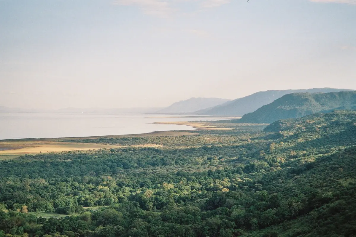
The Great Rift Valley at Lake Manyara
A rift valley is a long trough where the earth's crust has been pulled apart and the land between the edges has dropped. In northern Tanzania, this trough is part of the East African Rift system, and Lake Manyara lies on its floor. The national park sits between the lake and the slope, which belongs to the Gregory Rift. Anyone who drives to the gate at Mto wa Mbu sees the wall rising behind the village.
This page sticks to the practical side: where the escarpment stands, what it does for the park and where you can see it. The full story of how the rift formed is a topic for a geology book. If you want to see the wall from above, ask your driver which stops on the road allow it. The Lake Manyara safari page explains what a day in the park looks like.
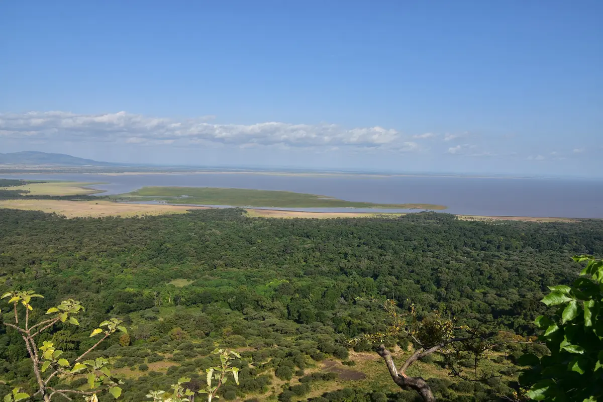
How the escarpment shapes the park
Water, forest and lake follow the slope.
Springs at the foot
Permanent springs below the escarpment feed the groundwater forest in the north of the park. This is why the first part of the drive near the gate is green and shaded, even in dry months.
A basin for the lake
The Manyara basin sits in the depression of the Rift Valley. The soda lake collects water there, and the shoreline moves with the water level.
Views from the park floor
The slope forms a backdrop, and there are viewpoints over the lake and the floodplain. Named viewpoints and stops depend on the route your guide takes.
The same wall that frames the view also marks the edge of a larger area. UNESCO counts the Manyara basin in its biosphere reserve, which is much bigger than the national park. See Lake Manyara history for how the park and the reserve relate.
Our pick: market town to Balaa Hill
This day tour includes Balaa Hill and the lakeshore near Mto wa Mbu.
Hand-picked tours, booked through GetYourGuide. Prices are indicative starting prices in US dollars (as of October 2026). Tap a tour for live availability and the current price in your currency.
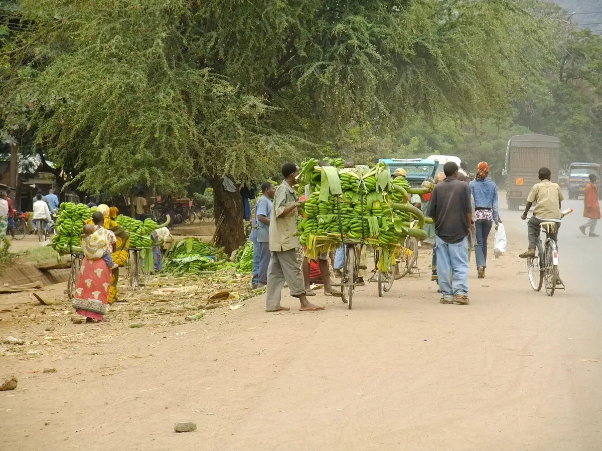
Lake Manyara tours with Rift Valley views
Safaris and day trips that include the lakeshore and the forest below the escarpment, with live prices and availability.
East African Rift: what it is
The big picture in a few lines.
The East African Rift is a system of valleys that crosses eastern Africa. The Tanzanian branch passes through the Manyara region, and its walls are some of the most visible landforms in the north of the country. The slope at Lake Manyara is one section of that wall. It does not look the same from every place: from the road it is a steep green face, from the park floor it is a long line above the trees, and from the rim it opens into wide views over the basin.
The Gregory Rift in a sentence
The national park lies between the lake and the Gregory Rift slope. That is enough for orientation. Treat quick estimates of how high the slope stands above the lake with care.
What lives below the wall
The forest at the foot is home to baboons, blue monkeys and bushbuck, while elephants, buffalo, zebra and giraffe use the open floodplain. Birds gather on the water. The animals page lists what to look for in each habitat, and flamingos and birds covers the lake.
How to see the escarpment
Simple ways to get a good view.
On the way in
The road from Arusha and the gate at Mto wa Mbu are the first places where the wall comes into view. Ask your driver for a photo stop with a clear sky behind the slope.
Road from Arusha →From the park floor
On a game drive, the wall stays in view most of the time. The groundwater forest hides it for stretches, and the open shore shows it best.
Game drives →From a lodge on the rim
Some places to stay on the slope give wide views over park and lake. The lodges page describes the areas.
In the village
Mto wa Mbu sits at the foot of the slope. A walk through the fields shows how the wall sets the boundary of the farmland.
Mto wa Mbu →Neighbouring places have their own landscapes, such as the Ngorongoro highlands to the west, and for a very different Rift Valley scene, Lake Natron in the north.
The Rift Valley at Lake Manyara: frequently asked questions
Is Lake Manyara in the Great Rift Valley?
Yes. UNESCO places the reserve in the depression of the East African Rift Valley, in the Manyara basin. The national park lies between the lake and the escarpment.
How high is the Manyara escarpment?
Treat any exact figure with care. The park lies at about 960 m, but that is the park elevation, not the height of the slope above the lake.
Where are the viewpoints?
There are viewpoints over the lake and the floodplain, but fixed names and stops depend on the route. Ask your driver or guide before you start, and see Lake Manyara safari.
Can I see the escarpment from the road?
Yes. The wall rises behind Mto wa Mbu and stays in view on the drive to the gate. See getting there.
Is this website the park's own guide?
No. This is an independent travel guide, not run by TANAPA or any authority, and it has no link to safari operators or lodges.